Friday, May 10, 2013

Phenology of Centennial Beaver Dams


Phenology of Centennial Beaver Dams
Although Centennial may not be the most unique location to conduct a phenology study, the location studied in Centennial is a little more unusual. Located off the trails and close to Rt. 89, the location of the former beaver dams is an interesting look at the former habitat of these keystone species. While the beavers may have been removed from the area, the impact they made can still be seen. Visiting multiple times in the winter and in the spring allowed me a unique insight into how the engineering of the beavers changed the landscape at different periods.
Along the way an old ski lift was located.
     Visiting in the winter, there were various tracks in the snow many seemed to be of fox or bobcat size. While walking to the site I came upon the sight of a fire which after doing some research was an old ski lift. As I entered the habitat the most noticable aspects was the number of number of trees that had fallen over the marsh area. They were not uprooted or sawn down rather chewed through. 
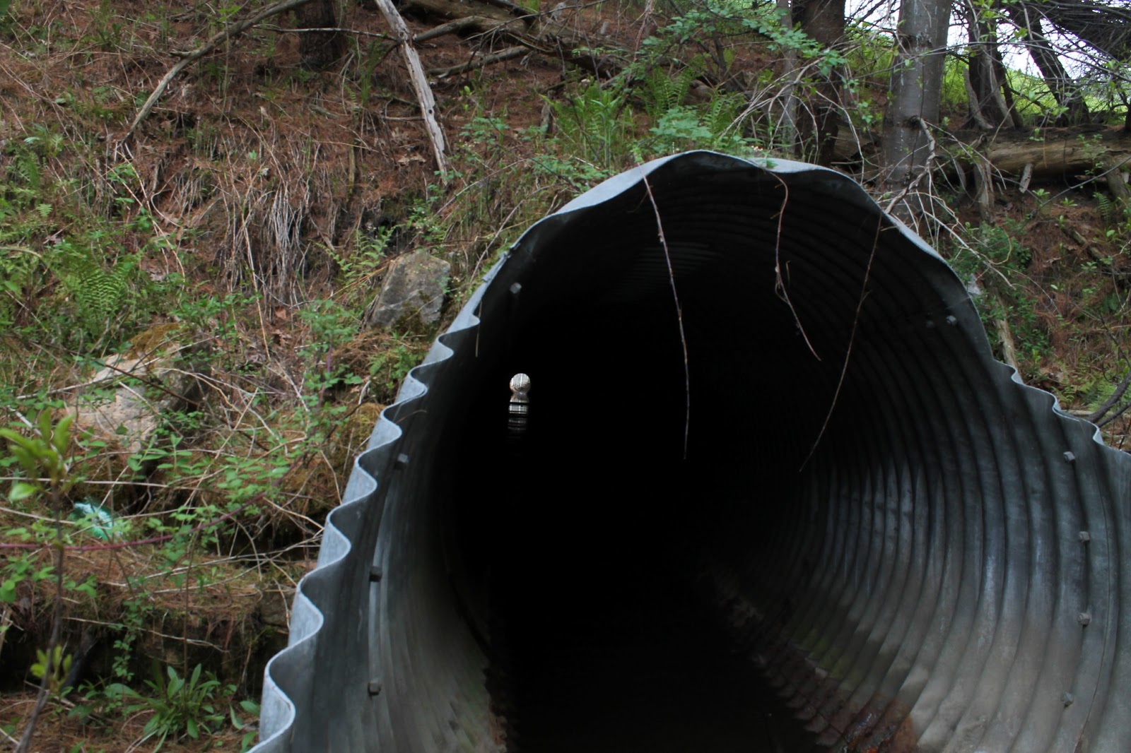
    The water entered the area from a large stormdrain linking centennial to the woods across Rt 89. There was much rust and oil flowing in from this point and some trash was strewn about the area. The land looked like it was still yet to recover from the damage done by the beavers but some successionary seedlings could be seen trying to start up.
If the beavers are gone, who is this?

The water carving through the marsh.


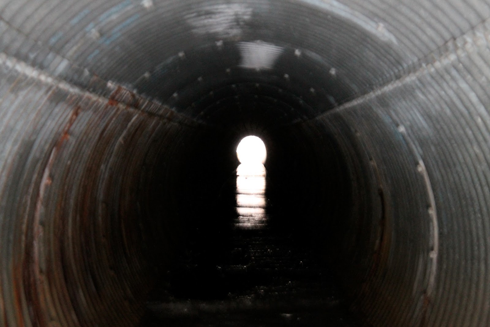
The tunnel connecting Centennial to the other side of the rt. 89

Looking out into the beaver's former land.

Although not visible, there was an oil sheen from rod runoff.

The former habitat for the beavers.


 My second venture to the Centennial took place on a snowy night in March and I did not have much success.  I found the snow to be too heavy to capture any good images besides for the weight of the snow on the non-coniferous trees.


The snow weighed down the branches on the edge of the marsh.


    When I returned in May the beaver habitat was completely different. The buds had bursted open and new grasses were climbing for the sky. The ferns had sprung open and new cattails were beginning to emerge. The land seemed to have sunk lower as the frost heaves had melted away. The beaver home which looked so sturdy cover in ice and snow seemed to be a skeleton of a home as the bare wood stuck out from it. The physical structure of the land seemed to have changed very little but the area seemed much more lively. Birds, bugs and small furry creatures dominated the ears and eyes. Looking at the former beaver habitat in the middle of winter made it seem like an antique but with the advent of spring, life returned to the area.
Ferns blanket the hill leading to the beaver habitat.


The same drainage ditch spewing oil and dirty water.


Former beaver home.


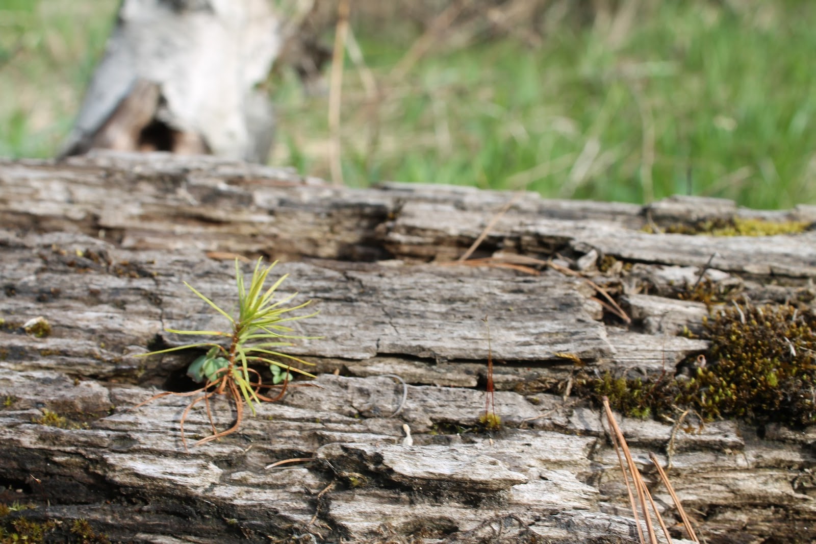
Grasping for life in a fallen tree

Remains of a beaver lodge.


Either oil or iron-consuming bacteria.

A peak back at the former beaver habitat.

Bolton Potholes

Bolton Potholes


Niquette Bay State Park


Niquette Bay
Mossy Cliffs where Dutchmen's Breach's was located
     Our visit to Niquette Bay took place during the last week of April on a warm sunny spring day. The park is located north of Burlington, VT and has a wide variety of ephemeral flowers. 
Dutchman's Breaches
    We saw a wide variety of flowers that were blooming or about to bloom as soon as we entered the park. We found hipaticus and bloodwort. In addition we saw an abundance of trillium dotting the forest floor. As we climbed the hill towards the bay we found many mossy cliffs and rocks dotted with dutchman's breeches. We also found trout
Bloodroot
lily which was yet to blossom. 
   As we moved closer to the water we came upon a sandy bluff overlooking the beach and subsequently the actual bay. This sandy area is one of the only locations in Vermont where three pines cohabit an area. The two common pines are red and white pines but the usual is the pitch pine. The pitch pine survives in this location because of the sandy soil and windy climate. 
Horsetail
    As we left the park we came upon horsetail, the last vascular plant that reproduces via spores. It was covering the bank of the ravine that divides the park and provided us with access to our parking lot. 

Monday, May 6, 2013

Huntington Gorge

Huntington Gorge
From a wide river...
...to narrow falls.
                 
Our trip to Huntington Gorge took place on a warm day in mid-april. The gorge is located in Richmond, VT and sits alongside a country road. Besides for the beauty of the falls; the falls are notorious for the high death toll due to powerful currents. The Huntington River goes from being a fairly wide meandering river to compressing itself in a small gap and rushing down the falls. The river bends around the corner at the end of the falls and continues on through the path it had carved many years before.

Carving through the stone.


The thousands of years of erosion has created all sorts of natural rock sculptures. The rock has been worn smooth by the constant flow of water and many deep pockets have been worn out.  As we made our way downstream we came upon a few remnants of the gorges previous use. There were pilings on the shore that showed the history of the gorge as a mill of various sorts. At first the river was a mill for grinding wheat but as time wore on the purpose changed and it was used for electricity for some time. 

The upper falls.
Lower Falls

Sunday, May 5, 2013

Intervale Community Farm

Intervale Community Farm
     Our visit to the Intervale Community Farm occurred during the second week of April. The farm is located in Burlington, VT and there were a plethora of clouds in the sky. We met with Andy Jones who spoke to us about the basic functions of the farm. Andy described many of the functions regarding managing the largest CSA in Vermont. 
Intervale manager Andy on the combine.
    Andy discussed many of the hardships of managing a farm even through his own behaviors. We spent a fair amount of time looking for Andy but he was very busy working on some tractors and then a combine. Eventually he got the combine working and brought it near the fields. Andy explained the importance of CSA's to the farm and how they have allowed the farm to expand. 
    The farm recently added another barn that provides them storage options in the off-season and when they are not using it the Intervale Conservation Nursery uses the building for their young trees. After meeting with Andy we began to explore the farm. 
Working in the greenhouse.
   The first place we visited was the greenhouse, where many of the seedlings were being prepared for transfer to the fields. There were a handful of people working in the greenhouse preparing various plants for the transition to the outside. Besides for the greenhouse for the Intervale Community Farm, there were many other greenhouses for the other farms in the Intervale area.
Brussel sprouts from the previous season
    Once we left the greenhouse we headed out into the fields. The first stop was the berry bushes that provided many families with berries while in season. Beyond this, were a few fields including one which still had the brussel sprouts from the past season. One of the major issues with the farm was the location.
   The farm is located directly beside the Winooski River which has a tendency to flood. This can be a major issue as well as a benefactor to the farm. The flooding of the river can bring about fresh soil and plenty of silt which helps with the nutrients and growth of the plants. Along with the nutrients, the river can bring rogue seedlings that may be weeds or other plants that the farmland does not need, but without the flooding it would be difficult for the river to get the required nutrients. 


Mt. Philo

Mt. Philo State Park
    We visited Mt. Philo during the first week of April on one of the clearest days of the year. The mountain is located in Charlotte, VT and is about 1000 feet high. One of the unique parts of the mountain is its isolation which means it has great sight lines for viewing many of the higher mountain ranges. Philo provides a great view of the Adirondack and Green Mountains especially on the day we went where visibility was as long as 100 miles. 
Snake Mountain
    Philo along with many of the surrounding mountains were created when tectonic plates collided and created a peak. It is estimates that hundreds of millions of years ago the mountain and its surrounding counterparts stood higher than the Himalayas. Since that time they have been worn down by glaciers, and various elements of weather. The top of the mountain was formerly an island when much of Vermont was covered by the Champlain Sea.
Old Growth Maple
     The path heading up to the summit had a very old maple tree. This tree was not cut because it was used for sugaring but most of the mountain was clearcut for agriculture hundreds of years ago. Much of the mountain was used for sheep and forested but the CCC replanted much of the forest in the 1930s.
Adirondack Mountains
    Upon reaching the top of Mt. Philo we could see much of the surrounding farm land which was in a flat valley meaning the soil was fertile. Beyond the farmland was Lake Champlain, the Adirondacks and some of the Green Mountains. The high level of clarity meant that we could see almost as far south as Massachusetts.
     

Lone Rock Point

Lone Rock Point
Cedar hanging on to the edge of the cliff
     We visited Lone Rock Point on a warm partly cloudy day at the end of March. The site is located on the edge of Lake Champlain directly north of Burlington, VT. Upon reaching the site we discussed lenses for a short while before walking to the cliffs overlooking the lake. 
Cedar Tree
    The cliffs ranged from twenty to eighty feet above the water level. Upon the edge of the cliffs and extending twenty feet back were cedar trees. The cedars thrive in the harsh climate that they are located in. They do not require little soil and gain their nutrients from the dolomite cliffs. The are small in stature due to the harsh conditions but are the one of the only types of trees that can live in such an environment. 
Champlain Thrust
      Beyond the cliffs, we followed a small stream down to the beach area beneath the cliffs. This is where we came upon the Champlain Thrust which had created these cliffs millions of years ago. What made the Champlain Thrust so unique is that it is a reverse thrust meaning the older rock had pushed itself over the younger rock which is uncommon. In the case of the Champlain Thrust the older dolomite rock was driven over the 100 million year younger shale. The shale was eroding faster than the dolomite meaning small caverns and undercut overhangs were beginning to appear throughout the cliff structure. 
Fossilized coral from worlds oldest coral reef.
     While scouring the beach I located a piece of what we believe is old coral reef. North of our location is the oldest coral reef in the world so it is possible that somehow the coral made its way to the beach. Beyond the cliffs we came upon the actual lone rock point which was located about one hundred feet above the lake. Here we took some fantastic group pictures while perched precariously upon the edge.